City of Malibu Monitoring Key Indicators for Fire Threat in the Santa Monica Mountains
By Staff Writer
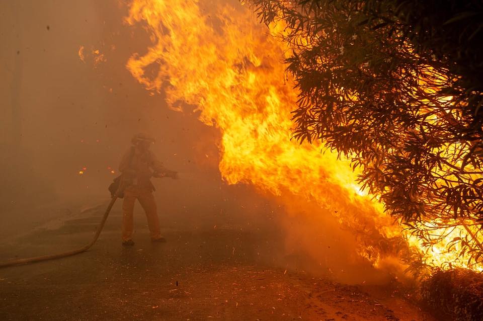
As part of the Malibu’s ongoing efforts to be prepared for the threat of wildfires, the City’s Fire Safety Liaison Jerry Vandermeulen is monitoring key fire threat indicators for Malibu including fuel moisture levels, wind speed, temperature, and relative humidity in the Santa Monica Mountains.
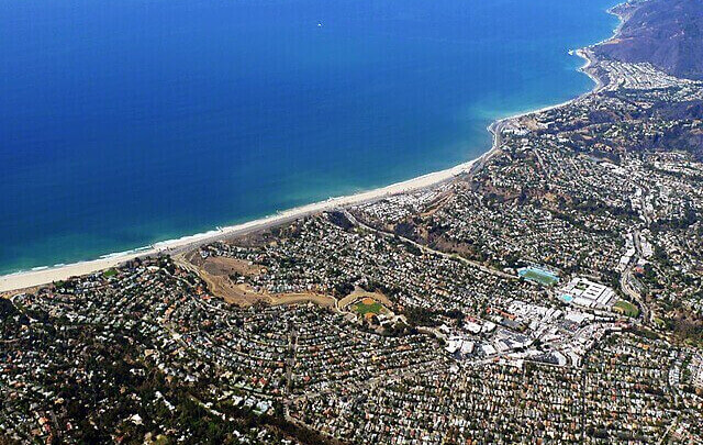
All of the City of Malibu is in a Very High Fire Hazard Severity Zone. Those are areas identified by CAL FIRE as places where wildfires are likely to be extreme due to factors such as vegetation, topography and weather, so the community should maintain situational awareness of those factors in order to be prepared.
“Wildfire is Malibu’s number one public safety threat, so the City, the Fire Department, other partner agencies and residents need to use every tool at our disposal to make sure that we all are as informed and prepared as possible,” Mayor Pro Tem Karen Farrer said. “I recommend that Malibu residents learn how to watch monitor the wildfire factors so that they are ready to act well in advance of a wildfire threatening our community.”
“The fuel moisture average for the Santa Monica Mountains is currently 75 percent, which is slightly higher than the 1981 – 2019 average and about 10 percent above what it was this time last year, meaning the fire danger is slightly lower than this time last year,” Vandermeulen said. “The fire danger will continue to grow through the end of October as vegetation dries out, temperatures rise and strong Santa Ana winds appear.”
During this time of year, the Los Angeles County Fire Department regularly checks fuel moisture levels at several locations in the Santa Monica Mountains and posts the results publicly at https://www.fire.lacounty.gov/forestry-division/fire-weather-report.
The Fire Department also posts a Daily Fire Danger Analysis at http://www.fire.lacounty.gov/fireweatherdoc/FireWeatherDanger.pdf that gives a Burn Index based on factors such as wind speed, temperature, relative humidity and fuel moisture content.
Live fuel moisture describes the percentage of water content in living plants commonly found in the Santa Monica Mountains. It tells how dry and flammable all of the vegetation is in the area, and, together with wind, humidity and temperature, is an important indicator of the wildfire threat level at any given time.
Fuels with a higher moisture content are less flammable, less likely to ignite when exposed to flames and they release less energy during a fire, since higher moisture levels enable the plants to absorb more heat.
Moisture content can be greater than 100 percent because the water in a fuel particle may weigh considerably more than the dry fuel itself. For example, a green leaf may contain three times as much water as there is dry material, leading to a moisture content of 300 percent. Fuel moisture content below 60 percent is considered critical, 50 percent indicates drought conditions, and below 30 percent is considered to be dead fuel and extremely flammable.
The Burn Index levels (low, moderate, high, very high and extreme fire danger) are based on the live fuel moisture combined with winds, temperature, and relative humidity. Extreme fire danger weather forecasts are associated with the Fire Weather Watch and Red Flag conditions.







You must be logged in to post a comment.